views
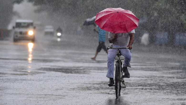
As paddy farmers have begun harvesting process at their fields in Andhra Pradesh, the India Meteorological Department (IMD) on Monday forecast thunderstorms with lightning and heavy rainfall in parts of coastal regions of the state, Yanam and Rayalaseema for the next five days, and advised them to immediately complete harvest works.
“Crop harvest ready for harvesting may be harvested immediately in all the districts,” said a Met official, even as the farmers have already suffered immensely in the recent heavy rains and floods.
On Tuesday, parts of Nellore district, south coastal AP and Rayalaseema are expected to receive heavy rainfall.
“Heavy rainfall very likely to occur at isolated places over north coastal AP and Yanam. Heavy to very heavy rainfall with extremely heavy falls (rainfall) very likely to occur at isolated places over south coastal AP and Rayalaseema,” said a Met official about Wednesday and Thursday’s forecast.
Similarly, heavy rainfall has also been forecast for parts of south coastal AP and Rayalaseema on Friday.
According to the Met department, there is a depression over southwest Bay of Bengal and has issued a cyclone alert for Tamil Nadu (TN) coast.
The weather system is expected to cross Tamil Nadu coast on Friday afternoon.
“Yesterday’s (Sunday) low pressure area has intensified into a depression and lay southwest and adjoining south east Bay of Bengal and moved north-westwards with a speed of 25 kmph during the past six hours,” said the official.
By 8.30 a.m. on Monday morning, the depression lay centered over the same region near latitude 9.5 degree north and longitude 84.2 degree east, about 550 km east-southeast of Puducherry and 590 km southeast of Chennai, over the Bay of Bengal sea on the east coast of India.
“It is very likely to intensify into a cyclonic storm during the next 24 hours. It is very likely to move north-westwards and cross Tamil Nadu and Puducherry coasts between Karaikal and Mamallapuram around Friday afternoon as a severe cyclonic storm,” she said.
The cyclonic storm is expected to blow winds with up to speeds of 100 -110 kmph and also gusting up to 120 kmph. The depression’s cone of uncertainty has been plotted over north Tamil Nadu, Rayalaseema and a small portion of southeast Karnataka. Fishermen have been advised not to venture into the sea until Saturday.
Earlier, Union Cabinet Secretary Rajiv Gauba chaired a meeting of the National Crisis Management Committee (NCMC) to review the status of impending Cyclone through video conferencing with the Chief Secretaries of Andhra Pradesh, Tamil Nadu and Puducherry.
The Chief Secretaries of the two states and Union Territory briefed the committee about their preparedness and mentioned that the authorities are “fully prepared to meet any eventuality”. They also articulated the coordination strategy with the NDRF and other agencies, amid this impending challenge.
During the meeting, the Director General of the India Meteorological Department made a presentation on the present situation and mentioned that the status is being shared with the concerned State Governments. He mentioned that the impending Cyclone is going to affect coastal areas of Andhra Pradesh, Tamil Nadu and Puducherry between November 24 to 26.
The Cabinet Secretary told the officials that the Crisis Management Committee is aiming at “zero loss of life” and early restoration of normalcy in the affected areas. He ordered to strictly implement the advisories to fishermen for not to go into the sea. He also told the authorities that those living in ‘kutcha’ houses may be advised suitably according to the situation.
Secretaries from Home, Power, Telecommunication, Civil Aviation, Shipping, Health Ministry, Chairman, Railway Board, Member Secretary, NDMA, DG, NDRF and representative of Ministry of Defence also informed the National Crisis Management Committee about the arrangements and assistance to the concerned states.
Read all the Latest News, Breaking News and Coronavirus News here


Comments
0 comment